Thermal Imaging with Drones
Benefits of Thermal Imaging with Drones
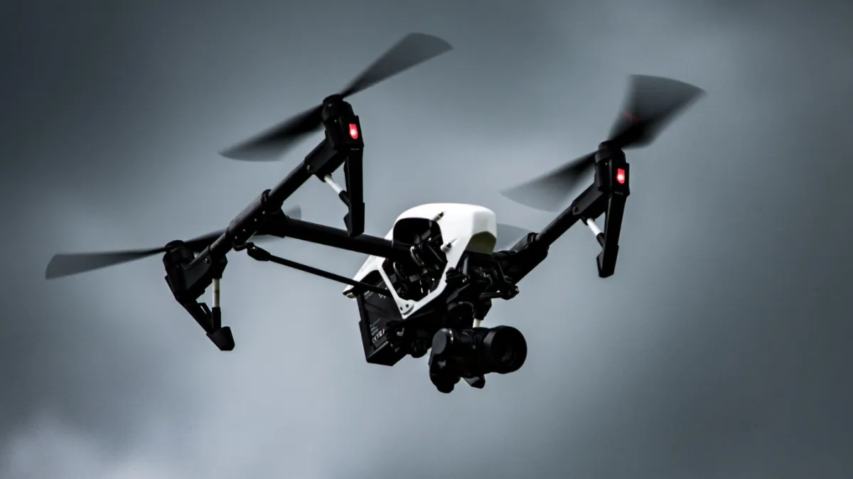
In recent years, the combination of thermal imaging and unmanned aerial vehicles (UAVs), or drones, has revolutionized various industries, offering unparalleled inspection, analysis, and problem-solving capabilities. Welcome to our guide on the applications and advantages of utilizing thermal imaging technology with drones. Let’s delve into how thermal imaging using drones can benefit you.
Improved productivity and ease of use:

Professionals can access previously challenging or hazardous areas by integrating thermal imaging with drones. This enhanced accessibility translates into improved efficiency and cost-effectiveness for inspections. Drones can effortlessly navigate intricate or hard-to-reach locations, such as rooftops, tall structures, or remote areas, providing comprehensive thermal insights without scaffolding or risking human safety.

Rapid and Real-Time Data Acquisition:

Rapid and Real-Time Data Acquisition:
Thermal imaging drones enable real-time data collection, allowing professionals to swiftly capture thermal images and videos. By providing instant access to thermal data, drones empower professionals to make prompt decisions and take immediate action when required. The seamless integration of thermal cameras with drones ensures the entire process is streamlined, expediting the inspection and analysis phases.
Comprehensive Inspections and Analysis:
The combination of thermal imaging and drone technology delivers thorough inspections of various industries and applications. Here are a few specific areas where thermal imaging drones excel:
Building
Inspections:
Thermal imaging drones can identify energy loss, insulation issues, moisture intrusion, and structural anomalies in buildings. By pinpointing areas of concern, professionals can take proactive measures to enhance energy efficiency, improve insulation, and address potential problems promptly.
Electrical
Inspections:
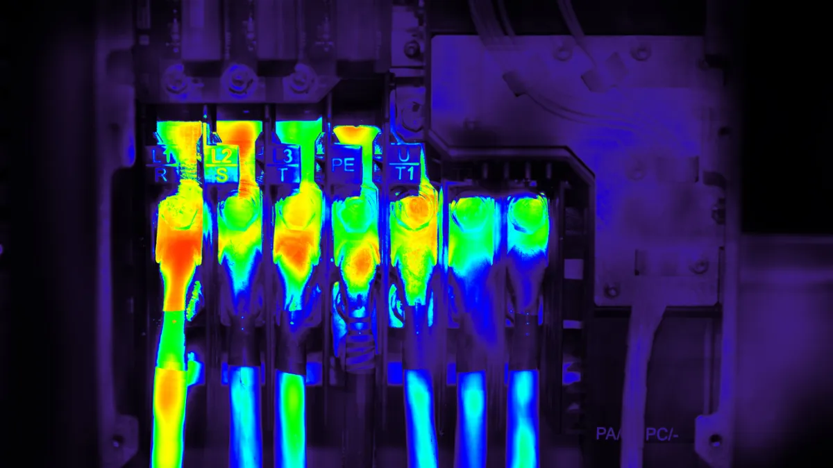
Drones equipped with thermal cameras can detect hotspots, loose connections, and overloaded circuits in electrical systems. Early identification of electrical issues can prevent failures, reduce downtime, and enhance safety for both personnel and equipment.
Agriculture and Environmental Surveys:
Thermal imaging drones assist in crop management, water resource monitoring, and environmental surveys. By analyzing thermal data, professionals can identify irrigation problems, detect crop stress, monitor wildlife, and assess the health of vegetation in vast areas more efficiently.
Public Safety and Search and Rescue:
Thermal imaging drones aid emergency responders by rapidly identifying heat signatures and locating missing persons in various scenarios, including disaster zones, wilderness areas, and urban environments. Covering large areas quickly enhances the chances of successful search and rescue operations.
Precise Temperature Measurements and Analysis:
Thermal imaging drones provide accurate and detailed temperature measurements across a given area. Specialized software allows professionals to analyze thermal data, identify temperature variations, and generate detailed reports. This enables them to detect anomalies, monitor trends, and make informed maintenance, repairs, or improvement decisions.
The fusion of thermal imaging and drone technology has opened up a world of possibilities for professionals across various industries. By utilizing thermal imaging with drones, enhanced efficiency, rapid data acquisition, and comprehensive inspections have become a reality. Whether building inspections, electrical diagnostics, agriculture, or public safety, thermal imaging drones provide invaluable insights and facilitate proactive decision-making. Embrace the power of this cutting-edge technology and unlock a new level of efficiency and precision in your field.
Remember, if you have any specific questions or require further information about thermal imaging drones, our team of experts is ready to assist you.

Our Address
FlyingLenz is owned and operated by
DG Digital Services, LLC
4901 Olde Towne Parkway, Suite 100 Marietta, GA 30067
Business Hours
Also available for special assignments at hours outside those posted.
Monday - Saturday: 9:00 AM – 5:00 PM
Sunday: By Appointment Only
Also available for special assignments at hours outside those posted.
Monday - Saturday: 9:00 AM – 5:00 PM
Sunday: By Appointment Only
